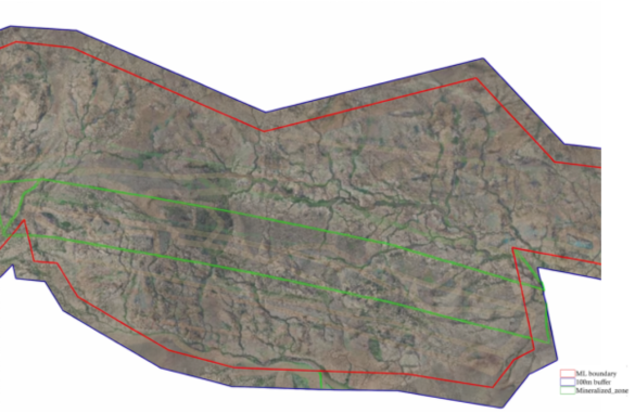
Technical Objective
Identify magnetic susceptibility contrasts associated with lithological variations, structural controls, and magnetically responsive ore-bearing formations to support precise exploration targeting.
Technical Approach
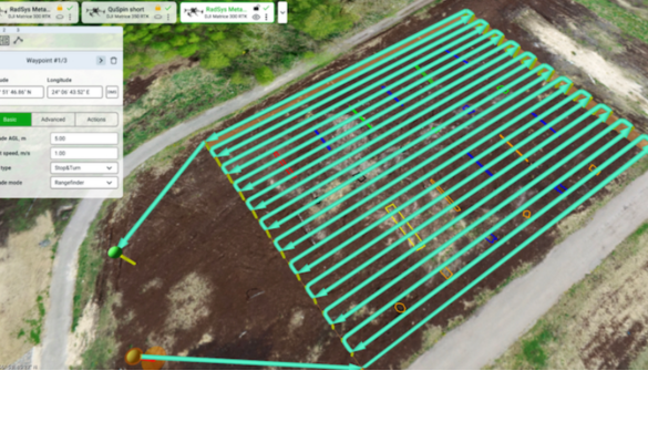
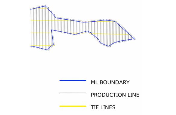
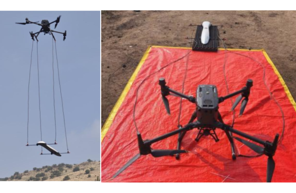
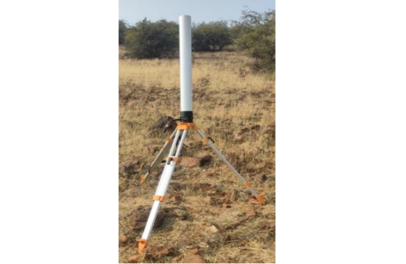
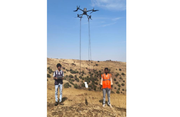
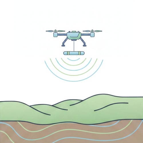
Survey parameters are designed around geological objectives to maximize anomaly resolution and subsurface detectability. Controlled low-altitude, terrain-following UAV flights ensure consistent sensor clearance for enhanced signal fidelity.
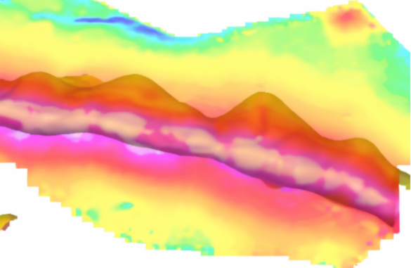
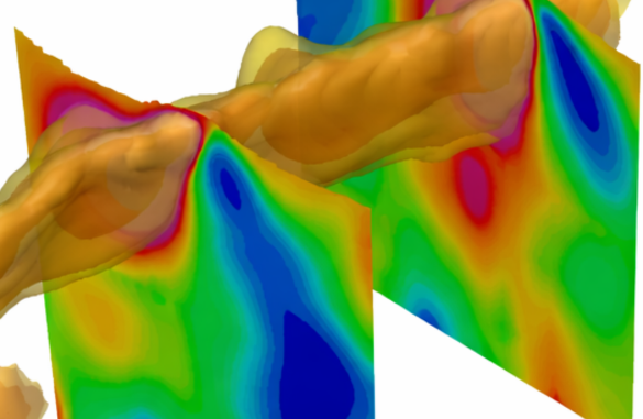
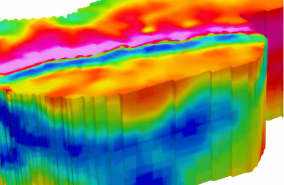
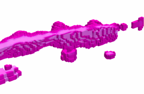
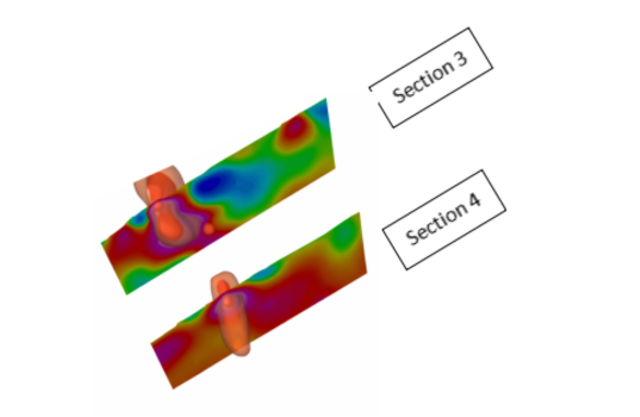
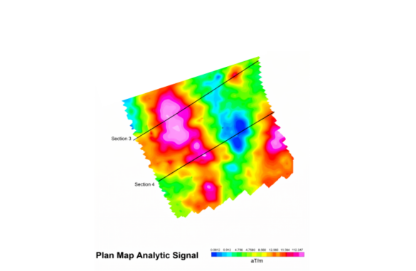
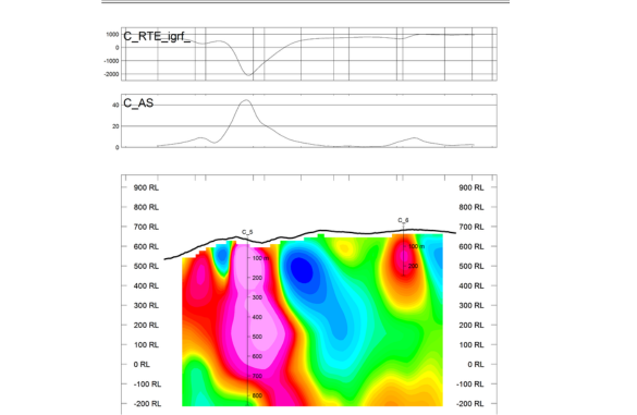
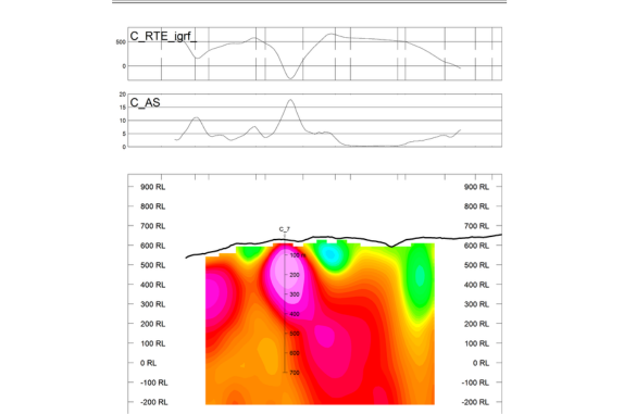
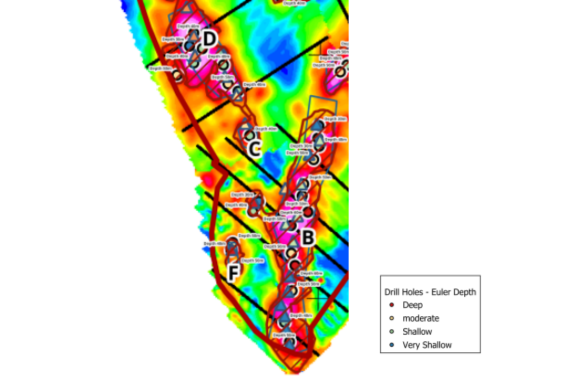
Advanced processing techniques are applied, including diurnal and heading corrections, micro-levelling, gradient enhancement, and derivative analysis. Where required, magnetic datasets are integrated into 3D magnetic susceptibility models to estimate geometry and depth extent of potential ore bodies.
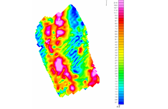
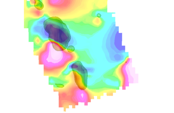
Outputs
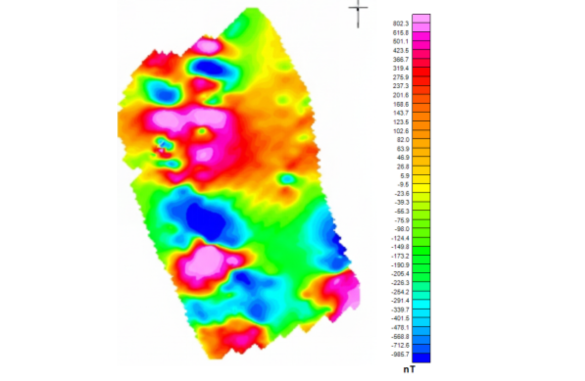
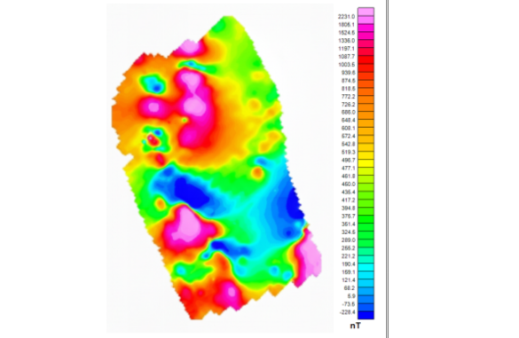
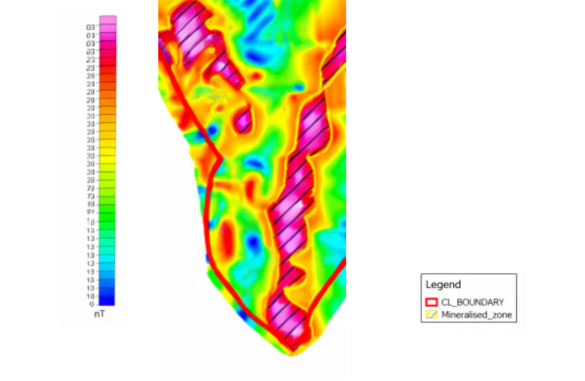
- Total Magnetic Intensity (TMI) and Reduced-to-Pole (RTP) maps
- Gradient and derivative-enhanced anomaly models
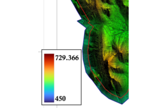
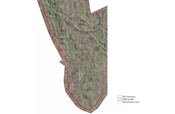
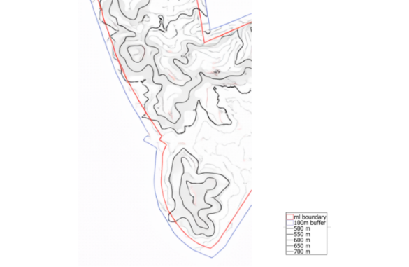
- Structural interpretation overlays
- Ranked, high-priority drilling targets